Colorado College Assistant Professor of Geology Sarah Schanz has been awarded a $463,586 grant from the National Science Foundation for her project, “Collaborative Research: Climatic and Geologic Controls on the Threshold Conditions for Bedrock Single- and Multi-thread Channels.” Working with Brian Yanites at Indiana University Bloomington, the three-year project will explore the phenomena of meandering bedrock rivers — those whose banks and bed are solid rock rather than gravel and sand — in order to study how they carve valleys and transport nutrients and sediment. The goal is to understand what geologic and climatic conditions are favorable for forming wide, habitat-rich valleys versus narrow, incised gorges.
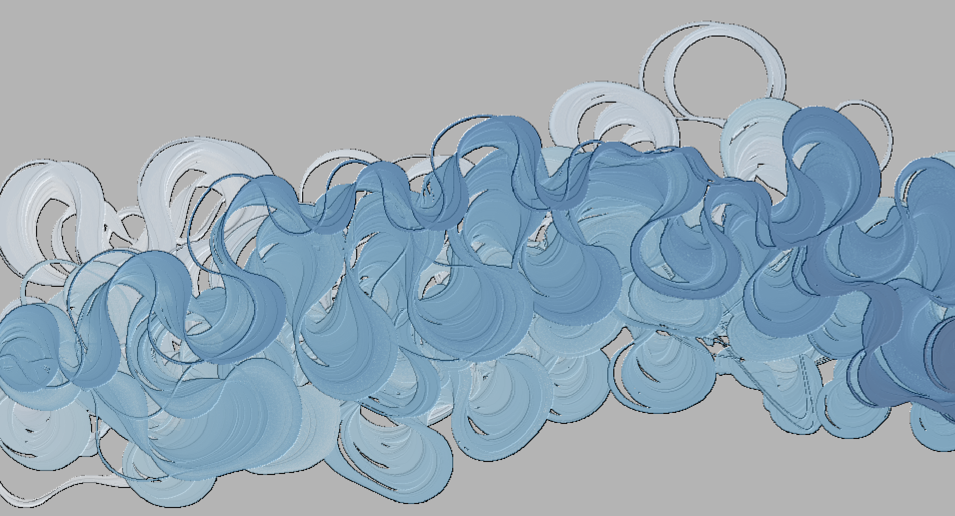
“Essentially, when bedrock rivers meander and move sideways, they erode away one bank and create a very wide channel. Eventually, this wide channel gets too big, and a different type of river — a braided channel which has many dynamic channels weaving together — is formed,” says Schanz. “Braided and meandering channels interact very differently with the landscape around them … In this study, we are trying to determine what exactly causes rivers to move between these two states.”
The project will collect field data in the Smith River basin on Oregon’s coast where a bedrock river has meandered for several hundred thousand years. The data collected will be used to constrain a new computer model that Schanz and her collaborator have designed. The computer model and global datasets will then be applied to determine how climate and tectonics control the transition between braided and meandering in bedrock rivers.
With CC’s portion of the grant (approximately $196,000), a total of six student researchers will also participate in the study. Students interested in computer coding will have the opportunity to travel to Indiana University to test and finalize the new computer model using the IU supercomputers. The grant also provides funds for students interested in field work to travel to the Smith River to collect data and rock samples, and then to IU to work in the lab to dissolve the collected samples to determine erosion rates. The last portion of the study will include student researchers doing geospatial work with ArcGIS.
As a final piece of the project, the team will design and build miniature stream tables that allow K-5th-grade students to build their own rivers and explore how rivers evolve. This activity will be made publicly available through the Science Education Resource Center and CC Science Outreach and will be shared during weekly outreach visits to Colorado Springs schools and community centers.


